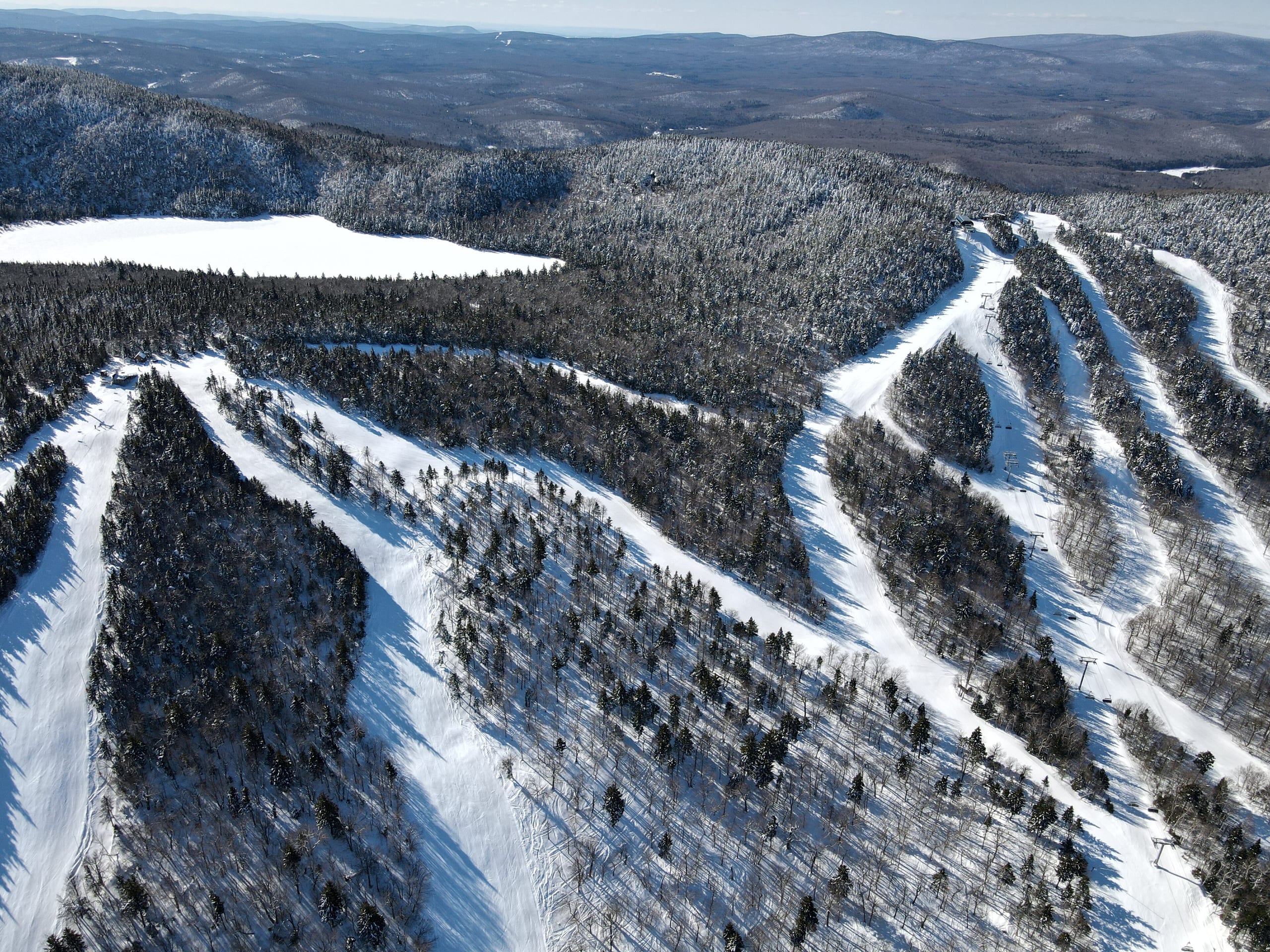
Members only. Lift access is for members of the club and their guests. Private areas rarely publish statistics, so more values show as not yet collected.
Numbers
Passes
IndependentIndependent — not on Epic, Ikon, Indy, Mountain Collective or Power
On no multi-resort pass: not on Epic Pass, Ikon Pass, Indy Pass, Mountain Collective or Power Pass.
Getting there
1 h 28 min from ALB
Rankings
7 national rankings7 national rankings
- Highest lift-served elevation#199 U.S., outside the top 100of 471#13 of 26 in Vermont
- Advertised vertical drop#132 U.S., outside the top 100of 390#14 of 19 in Vermont
- Named trails#122 U.S., outside the top 100of 352#13 of 19 in Vermont
- Total lifts#220 U.S., outside the top 100of 480#13 of 26 in Vermont
- Airport drive#226 U.S., outside the top 100of 506#2 of 27 in Vermont
- Big airport drive#187 U.S., outside the top 100of 505#2 of 27 in Vermont
- Closest airport drive#408 U.S., outside the top 100of 507#24 of 27 in Vermont
All numbers
all 5all 5, in one list
Snow and weather
The National Weather Service forecast for the summit and the base. Live: each figure gives its source and time.
Trail map
71 runs · 5 lifts, as mapped in OpenStreetMap
Seen as a trail map shows a mountain: from the base looking uphill, the ground tilted up (heights ×1.5); the arrow points north and the scale holds across the page. Runs and lifts as OpenStreetMap's contributors have mapped them, on the ground from USGS elevation data, with a stronger contour every 250 ft. The key counts the lines OpenStreetMap draws, not the resort's runs; bowls and glades mapped as areas are a faint fill in their difficulty's color.
The resort’s published trail map is not yet collected.
Photos
Photographs of the ski area we may republish, each credited to its photographer. Open one to see it whole.