Mountain
How big it is and what the skiing is like, each figure with its U.S. rank.
Lifts: the lifts mapped in OpenStreetMap, surface lifts and carpets included; the resort publishes no count.
Terrain · the resort’s own difficulty mix
The difficulty mix is not yet collected.
.
Snow and weather
The National Weather Service forecast for the mountain. Live: each figure gives its source and time.
Webcams
Live from Mad River Glen’s own cameras, each in the player the resort’s page uses. Press play to watch; one plays at a time.
3 cameraschecked Oct 3
Single Chair Base Area
Nothing loads from YouTube until you press play.
Camera: Mad River Glen Vermont · YouTube player · from madriverglen.com
Trail map
2025–26 season · artist not stated
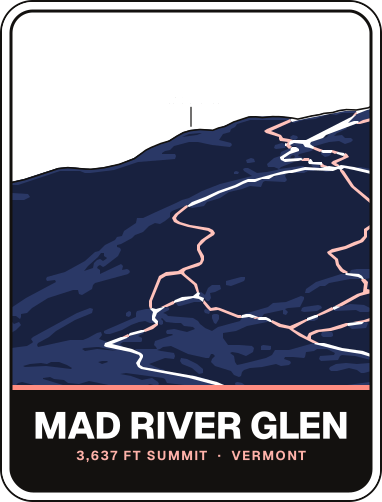
Seen as a trail map shows a mountain: from the base looking uphill, the ground tilted up (heights ×1.5); the arrow points north and the scale holds across the page. Runs and lifts as OpenStreetMap's contributors have mapped them, on the ground from USGS elevation data, with a stronger contour every 200 ft. The key counts the lines OpenStreetMap draws, not the resort's runs (its own list is on the run map). The resort's glades and bowls are drawn as areas: OpenStreetMap's own where it maps one, otherwise drawn by Aurora around OpenStreetMap's line, up to 60 m each side and halfway to the next run or lift, so their edges are approximate.
Runs
Every run Mad River Glen lists, on its trail map and in a list side by side, to tick off as you ski them.
- Skied itRegular
- Foil30 runs
- Holo60 runs
Getting there
Patrick Leahy Burlington International (BTV) 54 min · Albany International (ALB) 2 h 59 min
Photos
No photographs of Mad River Glen that we may republish yet
Find more on Google Images, or add one of your own.
Passes
On no multi-resort pass: not on Epic Pass, Ikon Pass, Indy Pass, Mountain Collective or Power Pass.
Rankings
Where Mad River Glen stands among the U.S. resorts with each figure, and within Vermont.
- Summit elevation#172 U.S., outside the top 100of 342#8 of 17 in Vermont
- Highest lift-served elevation#184 U.S., outside the top 100of 471#7 of 26 in Vermont
- Base elevation#182 U.S., outside the top 100of 317#8 of 17 in Vermont
- Advertised vertical drop#70 U.S., top 100of 390#8 of 19 in Vermont
- Lift-served vertical#59 U.S., top 100of 305#7 of 17 in Vermont
- Named trails#88 U.S., top 100of 352#10 of 19 in Vermont
- Total lifts#220 U.S., outside the top 100of 480#13 of 26 in Vermont
- Average annual snowfall#85 U.S., top 100of 253#5 of 16 in Vermont
- Airport drive#409 U.S., outside the top 100of 506#25 of 27 in Vermont
- Big airport drive#383 U.S., outside the top 100of 505#25 of 27 in Vermont
- Closest airport drive#240 U.S., outside the top 100of 507#13 of 27 in Vermont
Sources
Every figure on this page in one list, and the pages behind each.