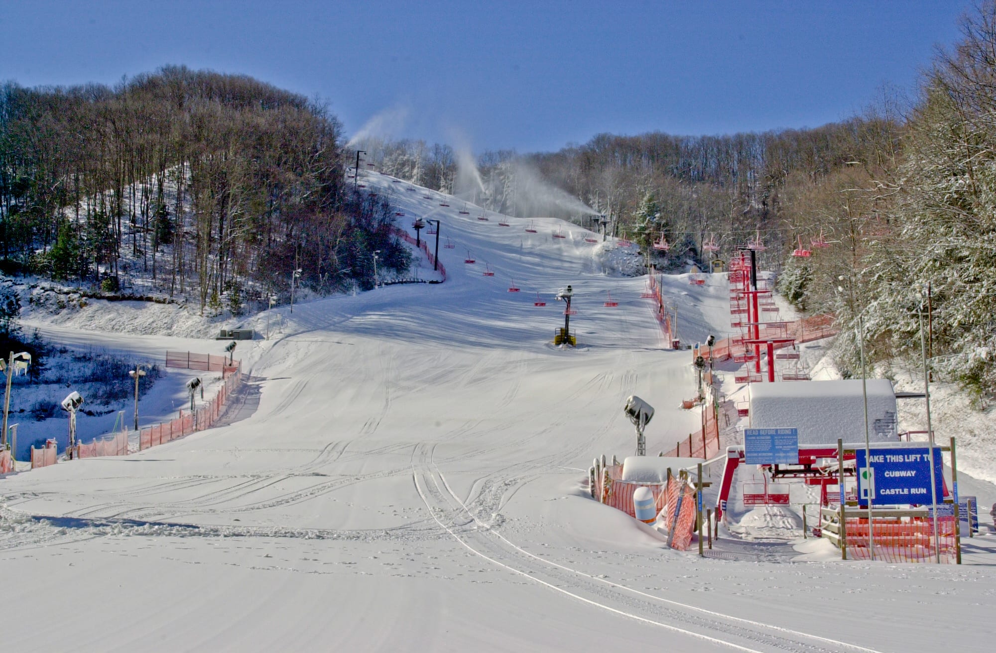
Mountain
How big it is and what the skiing is like, each figure with its U.S. rank.
Lifts: the count the resort advertises; resorts differ on whether surface lifts and carpets are in it.
Terrain · the resort’s own difficulty mix
· ·
- Beginner
- Intermediate
- Advanced + expert
Ober Gatlinburg publishes three levels, so its top share counts advanced and expert terrain together. · .
Snow and weather
The National Weather Service forecast for the summit and the base. Live: each figure gives its source and time.
Webcams
Live from Ober Gatlinburg’s own cameras, each in the player the resort’s page uses. Press play to watch; one plays at a time.
3 cameraschecked Sep 30
Ober Gatlinburg Base
Nothing loads from Brownrice until you press play.
Camera: Ober Gatlinburg · Brownrice player · from obergatlinburg.com
Trail map
21 runs · 7 lifts, as mapped in OpenStreetMap
Seen as a trail map shows a mountain: from the base looking uphill, the ground tilted up (heights ×1.5); the arrow points north and the scale holds across the page. Runs and lifts as OpenStreetMap's contributors have mapped them, on the ground from USGS elevation data, with a stronger contour every 500 ft. The key counts the lines OpenStreetMap draws, not the resort's runs; bowls and glades mapped as areas are a faint fill in their difficulty's colour.
The resort’s published trail map is not yet collected.
Getting there
McGhee Tyson (TYS) 1 h 8 min
Photos
Photographs of the ski area we may republish, each credited to its photographer. Open one to see it whole.
Passes, rankings and every number
Each row says what it holds; open one for the figures and their sources.
Passes
Indy (2 days)Indy (2 days)
Rankings
14 national rankings14 national rankings
Position among the resorts with a figure; national rank first, state rank second.
- Summit elevation#181 of 341 U.S.
- Highest lift-served elevation#191 of 471 U.S.
- Base elevation#153 of 316 U.S.
- Advertised vertical drop#240 of 388 U.S.
- Lift-served vertical#184 of 304 U.S.
- Skiable acres#288 of 316 U.S.
- Named trails#304 of 347 U.S.
- Longest run#135 of 177 U.S.
- Advanced + expert terrain#150 of 202 U.S.
- Beginner runs#186 of 202 U.S.
- Total lifts#219 of 479 U.S.
- Drive from the fly-in airport#173 of 504 U.S.
- Drive from nearest major airport#138 of 504 U.S.
- Drive from closest airline airport#322 of 506 U.S.