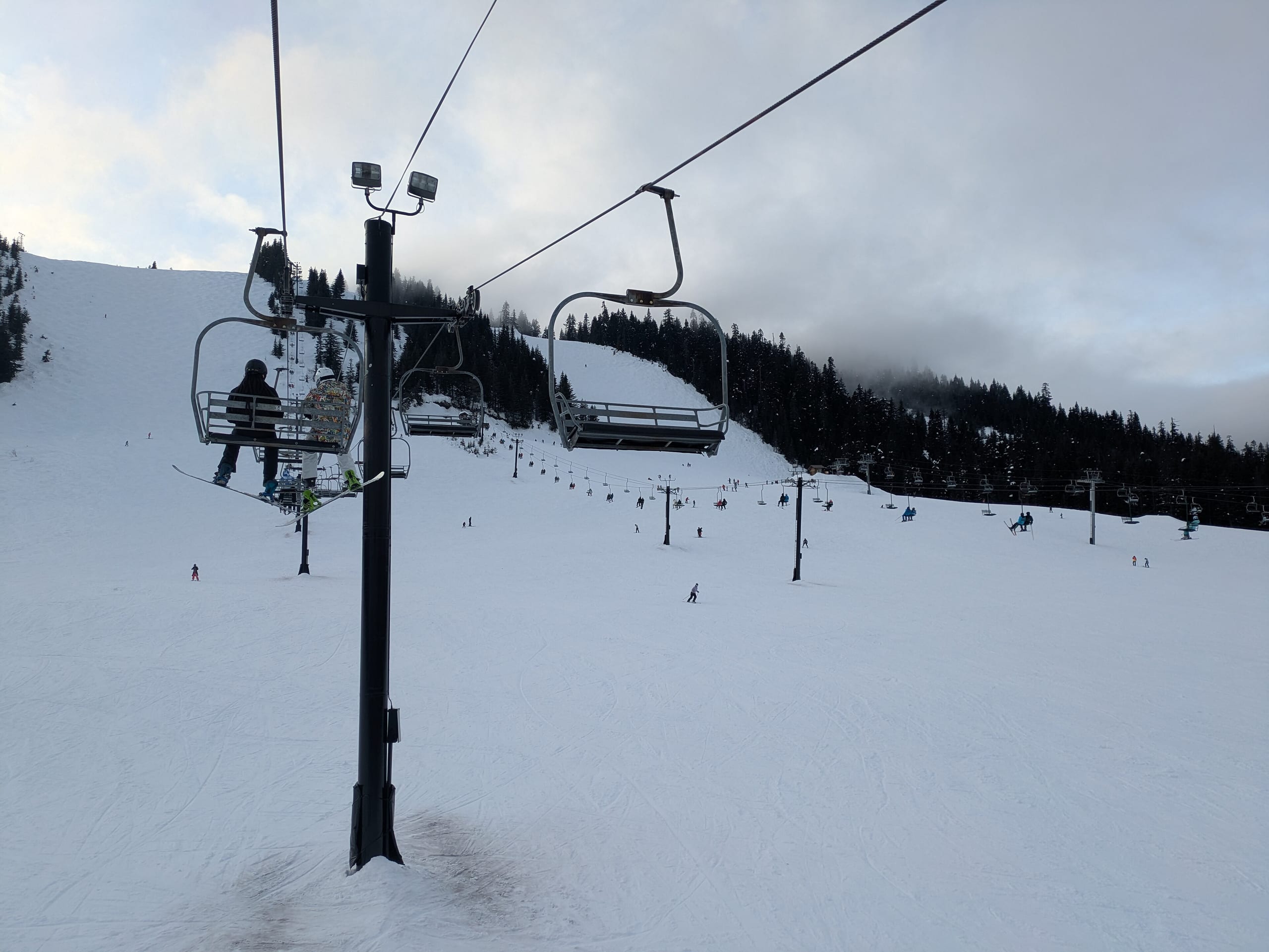
The Summit at Snoqualmie
Numbers
Passes
Ikon (7 days)Ikon (7 days)
Getting there
1 h 5 min from SEA
Rankings
6 — #125 major airport drive6 — #125 major airport drive in the U.S.
- Summit elevation#169 of 341 U.S. · #13 in Washington
- Base elevation#151 of 316 U.S. · #13 in Washington
- Advertised vertical drop#167 of 388 U.S. · #11 in Washington
- Drive from the fly-in airport#158 of 504 U.S. · #3 in Washington
- Drive from nearest major airport#125 of 504 U.S. · #3 in Washington
- Drive from closest airline airport#282 of 506 U.S. · #5 in Washington
All numbers
all 4all 4, in one list
Snow and weather
The National Weather Service forecast for the summit and the base, and the snowpack measured nearby. Live: each figure gives its source and time.
Trail map
Season not stated · artist not stated
Map key
Seen as a trail map shows a mountain: from the base looking uphill, the ground tilted up (heights ×1.5); the arrow points north and the scale holds across the page. Runs and lifts as OpenStreetMap's contributors have mapped them, on the ground from USGS elevation data, with a stronger contour every 500 ft. The key counts the lines OpenStreetMap draws, not the resort's runs; bowls and glades mapped as areas are a faint fill in their difficulty's colour.
Photos
Photographs of the ski area we may republish, each credited to its photographer. Open one to see it whole.