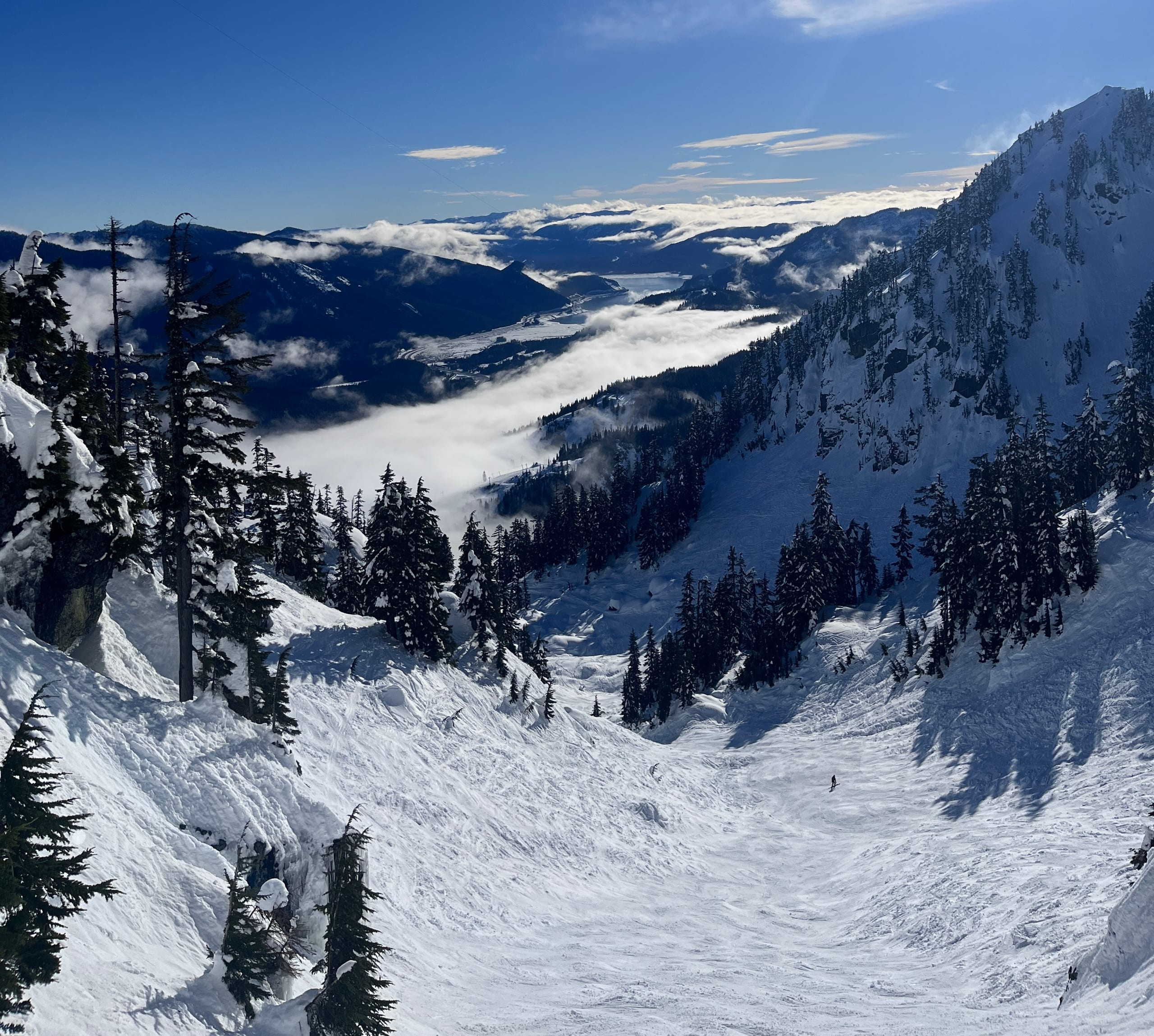
Alpental
Mountain
How big it is and what the skiing is like, each figure with its U.S. rank.
Lifts: the count the resort advertises; resorts differ on whether surface lifts and carpets are in it.
Snow and weather
The National Weather Service forecast for the mountain, and the snowpack measured nearby. Live: each figure gives its source and time.
Webcams
Live from Alpental’s own cameras, each in the player the resort’s page uses. Press play to watch; one plays at a time.
4 cameraschecked Oct 3
Base Area
Nothing loads from CamStreamer until you press play.
Camera: Alpental · CamStreamer player · from summitatsnoqualmie.com
Trail map
Season not stated · artist not stated
Seen as a trail map shows a mountain: from the base looking uphill, the ground tilted up (heights ×1.5); the arrow points north and the scale holds across the page. Runs and lifts as OpenStreetMap's contributors have mapped them, on the ground from USGS elevation data, with a stronger contour every 200 ft. The key counts the lines OpenStreetMap draws, not the resort's runs (its own list is on the run map); bowls and glades mapped as areas are a faint fill in their difficulty's color. The resort's bowls are drawn as areas: OpenStreetMap's own where it maps one, otherwise drawn by Aurora around OpenStreetMap's line, up to 60 m each side and halfway to the next run or lift, so their edges are approximate.
Runs
Every run Alpental lists, on its trail map and in a list side by side, to tick off as you ski them.
- Skied itRegular
- Foil10 runs
- Holo20 runs
Getting there
Seattle–Tacoma International (SEA) 1 h 5 min
Photos
Photographs of the ski area we may republish, each credited to its photographer. Open one to see it whole.
Passes
On no multi-resort pass: not on Epic Pass, Ikon Pass, Indy Pass, Mountain Collective or Power Pass.
Rankings
Where Alpental stands among the U.S. resorts with each figure, and within Washington.
- Summit elevation#142 U.S., outside the top 100of 342#9 of 17 in Washington
- Highest lift-served elevation#157 U.S., outside the top 100of 471#9 of 17 in Washington
- Base elevation#149 U.S., outside the top 100of 317#12 of 16 in Washington
- Advertised vertical drop#51 U.S., top 100of 390#2 of 17 in Washington
- Lift-served vertical#43 U.S., top 50of 305#2 of 15 in Washington
- Skiable acres#81 U.S., top 100of 319#8 of 15 in Washington
- Named trails#251 U.S., outside the top 100of 352#10 of 15 in Washington
- Total lifts#183 U.S., outside the top 100of 480#8 of 17 in Washington
- Airport drive#147 U.S., outside the top 100of 506#3 of 18 in Washington
- Big airport drive#125 U.S., outside the top 100of 505#3 of 18 in Washington
- Closest airport drive#282 U.S., outside the top 100of 507#5 of 18 in Washington
Sources
Every figure on this page in one list, and the pages behind each.